Earth Watch Report – Earthquakes

….
Instrumental Intensity

…
| 6.6 | 23km ESE of Aitape, Papua New Guinea | 2013-04-16 22:55:27 | 3.218°S | 142.543°E | 13.0 |
…
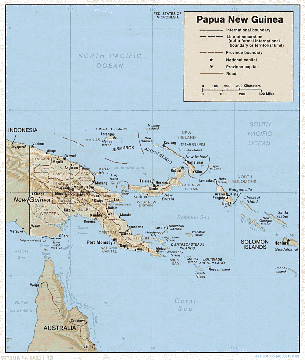
M6.6 – 23km ESE of Aitape, Papua New Guinea 2013-04-16 22:55:27 UTC

Event Time
- 2013-04-16 22:55:27 UTC
- 2013-04-17 08:55:27 UTC+10:00 at epicenter
- 2013-04-16 17:55:27 UTC-05:00 system time
Location
3.218°S 142.543°E depth=13.0km (8.1mi)
Nearby Cities
- 23km (14mi) ESE of Aitape, Papua New Guinea
- 125km (78mi) WNW of Wewak, Papua New Guinea
- 150km (93mi) ESE of Vanimo, Papua New Guinea
- 218km (135mi) ESE of Jayapura, Indonesia
- 858km (533mi) NW of Port Moresby, Papua New Guinea
…
Tectonic Summary
Seismotectonics of the New Guinea Region and Vicinity
The Australia-Pacific plate boundary is over 4000 km long on the northern margin, from the Sunda (Java) trench in the west to the Solomon Islands in the east. The eastern section is over 2300 km long, extending west from northeast of the Australian continent and the Coral Sea until it intersects the east coast of Papua New Guinea. The boundary is dominated by the general northward subduction of the Australia plate.
Along the South Solomon trench, the Australia plate converges with the Pacific plate at a rate of approximately 95 mm/yr towards the east-northeast. Seismicity along the trench is dominantly related to subduction tectonics and large earthquakes are common: there have been 13 M7.5+ earthquakes recorded since 1900. On April 1, 2007, a M8.1 interplate megathrust earthquake occurred at the western end of the trench, generating a tsunami and killing at least 40 people. This was the third M8.1 megathrust event associated with this subduction zone in the past century; the other two occurred in 1939 and 1977.
Further east at the New Britain trench, the relative motions of several microplates surrounding the Australia-Pacific boundary, including north-south oriented seafloor spreading in the Woodlark Basin south of the Solomon Islands, maintain the general northward subduction of Australia-affiliated lithosphere beneath Pacific-affiliated lithosphere. Most of the large and great earthquakes east of New Guinea are related to this subduction; such earthquakes are particularly concentrated at the cusp of the trench south of New Ireland. 33 M7.5+ earthquakes have been recorded since 1900, including three shallow thrust fault M8.1 events in 1906, 1919, and 2007.
The western end of the Australia-Pacific plate boundary is perhaps the most complex portion of this boundary, extending 2000 km from Indonesia and the Banda Sea to eastern New Guinea. The boundary is dominantly convergent along an arc-continent collision segment spanning the width of New Guinea, but the regions near the edges of the impinging Australia continental margin also include relatively short segments of extensional, strike-slip and convergent deformation. The dominant convergence is accommodated by shortening and uplift across a 250-350 km-wide band of northern New Guinea, as well as by slow southward-verging subduction of the Pacific plate north of New Guinea at the New Guinea trench. Here, the Australia-Pacific plate relative velocity is approximately 110 mm/yr towards the northeast, leading to the 2-8 mm/yr uplift of the New Guinea Highlands.
…

…
…
Related articles
- 5.7 Magnitude Earthquake – 83km W of Bulolo , Papua New Guinea (familysurvivalprotocol.com)
- Earthquake hits Papua New Guinea (bigpondnews.com)
- M 6.8, near the north coast of New Guinea, Papua New Guinea (earthquake.usgs.gov)
- 5 Earthquakes ranging in magnitude from 4.1 to 6.6 in Papua New Guinea April 13th and 14th , 2013 (familysurvivalprotocol.com)
- Strong, Shallow Earthquake Shakes Papua… – ABC News (abcnews.go.com)
- Strong earthquake strikes near Papua New Guinea (metronews.ca)
- 6.8 Earthquake Hits Papua New Guinea (theepochtimes.com)
- Strong, shallow earthquake shakes Papua New Guinea (sfgate.com)
- Strong earthquake strikes near Papua New Guinea (kvue.com)
- Strong earthquake strikes near Papua New Guinea (sfgate.com)


4 Trackbacks / Pingbacks for this entry:
[…] 6.6 Magnitude Earthquake – 23km ESE of Aitape, Papua New Guinea (familysurvivalprotocol.com) […]
[…] 6.6 Magnitude Earthquake – 23km ESE of Aitape, Papua New Guinea (familysurvivalprotocol.com) […]
[…] 6.6 Magnitude Earthquake – 23km ESE of Aitape, Papua New Guinea (familysurvivalprotocol.com) […]
[…] 6.6 Magnitude Earthquake – 23km ESE of Aitape, Papua New Guinea (familysurvivalprotocol.com) […]